Wielkopolska National Park
Poznań enjoys the unique privilege of being able to reach a national park from the city center in essentially 20 minutes. Just as importantly, the best way to get there is by train. Wielkopolska National Park is truly Wielkopolska in miniature. Here, you can experience everything that defines our region: lakes, forests, gentle hills, and the wide Warta River valley.
For a great walk, we suggest taking the red trail from Mosina to Puszczykowo. The initial stretch from the Mosina railway station follows the blue trail, which hooks up with the red trail at the top of Osowa Góra (where you’ll find a tall observation tower). This hike will take you about 3 hours. Along the way, you will circle Góreckie Lake, see castle ruins on an island, and pop into the Natural History Museum. The trek wraps up in Puszczykowo, also right by the railway station. The total distance is 17 km.

In the Kamionka Valley
The Kamionka Valley Landscape Park is one of the smallest in Wielkopolska, but it is absolutely charming. A walk through the park means close contact with the forest, the rushing Kamionka stream, and plenty of opportunities for wildlife watching and listening to birdsong. Your starting point is the village of Mniszki, home to a very interesting Nature Education Center.
The longer route takes you along the red trail from here to the village of Kamionna, where you’ll find an old Gothic church, before looping back on the yellow trail (around 10 km). The shorter option is a loop formed by an educational nature trail (around 5 km).

To the Peak of Gontyniec
Gontyniec is one of the most fascinating hills in Wielkopolska. Legend has it that a pagan temple stood on its summit centuries ago, but today it is mostly a favorite spot for weekend getaways. You can start your climb to the top either from the parking lot at the foot of the hill, or from the railway station in Chodzież – which you can easily reach by train from Poznań.
The red hiking trail will lead you right to the peak. You can head back down the same way or mix it up by taking the yellow trail. The route is about 14 km long. To wrap up your day, it’s well worth hanging out for a bit in Chodzież itself, where you’ll find several restaurants nicely situated right by the lake.
By Dry and Wet Land
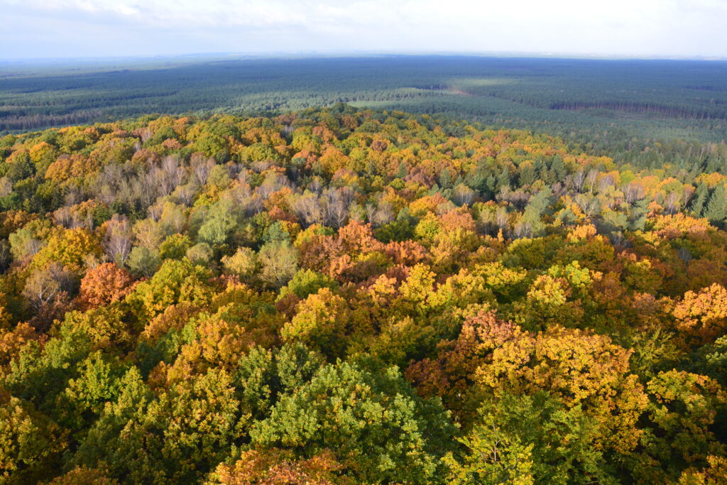
For a change of pace, this trail is decidedly flat. “By Dry and Wet Land” is the name of an educational trail and a marked hiking path in the Nadwarciański Landscape Park. It kicks off in the village of Ląd, right next to the famous Cistercian monastery and the Nature Education Center.
The route crosses the partially flooded areas of the wide Warta valley, occasionally meandering between oxbow lakes and wetlands. The absolute best time to visit this area is in the spring, when thousands of birds flock to the Warta valley to build nests and breed. The sheer number of them-in the air, on the ground, and out on the water-is truly incredible. Combined with the calls of dozens of different species, it makes for a magnificent natural spectacle.

In the Land of 100 Lakes
There is no shortage of walking trails in the Land of 100 Lakes, and interestingly enough, most of them run right along the water. Out of this vast selection, we highly recommend two particularly interesting ones.
The first is the red trail from Sieraków running along Lutomskie Lake. This lake is a nature reserve, so you won’t find any beaches here, but you might just spot a hunting white-tailed eagle. The second fantastic trail starts in Chalin, taking you from the Nature Education Center out to Chalinek Lake and Ławickie Lake. At one point, the path heads steeply down a set of stairs carved into the slope, guiding you through deep ravines. At the bottom of the valley, you’ll come across the ruins of an old mill. You’ll arrive back at the parking lot after a walk of about 5 km.

Through the Zielonka Forest
The Zielonka Forest is the second of Poznań’s “green lungs”. Located north of the city, it is just as easily accessible by both car and train as the national park. If you opt for the train, we suggest riding out to Owińska station and walking through the forest from there all the way to Czerwonak station.
The initial stretch follows the blue trail, which later merges with the red trail. The entire route is about 14 km. The coolest highlights along the way are the former Cistercian monastery in Owińska and Dziewicza Góra, which features an observation tower right at its peak.
In the Heart of the Forest
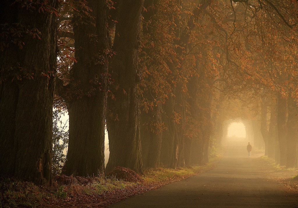
The Noteć Forest (Puszcza Notecka) is the largest continuous woodland in all of Poland, stretching over a distance of more than 100 km. This is the kind of place where you can walk or cycle and often not cross paths with another soul for an hour. Right in the very heart of the Noteć Forest lies the settlement of Miały, which, interestingly enough, is accessible by train.
An interesting route of about 13 km starts from here. First, follow the forest road toward the village of Mężyk, and then head back along the blue hiking trail. The entire time, you’ll be walking through pine forests along the Miała stream, passing four beautiful lakes along the way. You can also find a shop and a restaurant in Miały if you need to refuel.

Around Powidzkie Lake
This one is a route for the ambitious, as it spans a whopping 30 km. It couldn’t really be any shorter, though, since it takes you all the way around the largest lake in Wielkopolska – Powidzkie Lake.
The journey begins and ends at the market square in Powidz. For most of the way, it hugs the lake, sometimes running almost right along the shoreline. The scenery changes up several times: you’ll start on the beach in Powidz, then the trail enters the forest on the northern shore, before cutting through a few sleepy villages scattered along the eastern side of Powidzkie Lake. The route is fully marked on the ground as the “Wokół Jeziora Powidzkiego” educational trail. Powidz itself is a popular resort town, so you’ll find plenty of beaches, boat rentals, and several restaurants to relax at afterward.